
Course breakdown for any race: segments, finish time, weather, poles and fueling.
Connect Strava – we'll calculate your terrain adaptation and analyze your first race.
Your entry is paid, travel is booked, gear is ready. The miles are logged and your fitness is peaking – all that's left is to run your race and enjoy it. But in trail running, the worst outcome isn't missing your target time or getting passed for half the race. It's an injury or a DNF because you went out too fast.
Where does the course hide "walls" with a 40% gradient?
How do you estimate a realistic finish time when 21 km in the mountains takes as long as a road marathon?
Will your legs survive a string of long descents, or will you end up walking the last section?
How do you avoid getting swept up in the crowd's pace and going anaerobic in the first few kilometers?
How many gels, and how much water and electrolytes, do you need for a given race?
Your activities are imported automatically.
Choose one from the catalog or upload your GPX. The course is broken down by gradient.
Blind spots in the terrain, target finish time, pacing, and nutrition plan.
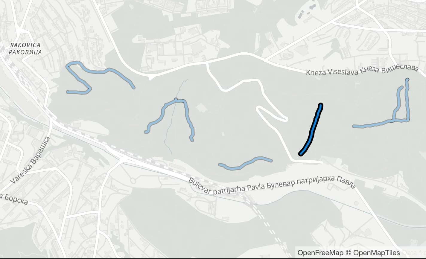
Trail Finder locates the specific slopes you need nearby.
Close the gaps in your experience: find the terrain you'll face on race day and train on it.
Change the PI level: finish time, nutrition and the checkpoint split update instantly.
A run over a summit or a pass lands in your collection on its own, no manual check-ins.
Trail running only, hiking in development
My summitsA daily game about trail running, hiking and running
New questions every day: find places from races around the world on the map.
https://api.endurance-analytics.com/mcp
https://api.endurance-analytics.com/mcp
The matrix shows which terrain of the course you have already run. The readiness verdict tells you whether you will make it and names the weakest spot.

